Outputting Reports
Reporting.RmdThe package is designed to provide output reports. These can be used within the documentation and validation procedure to evidence the checks made on the polygons.
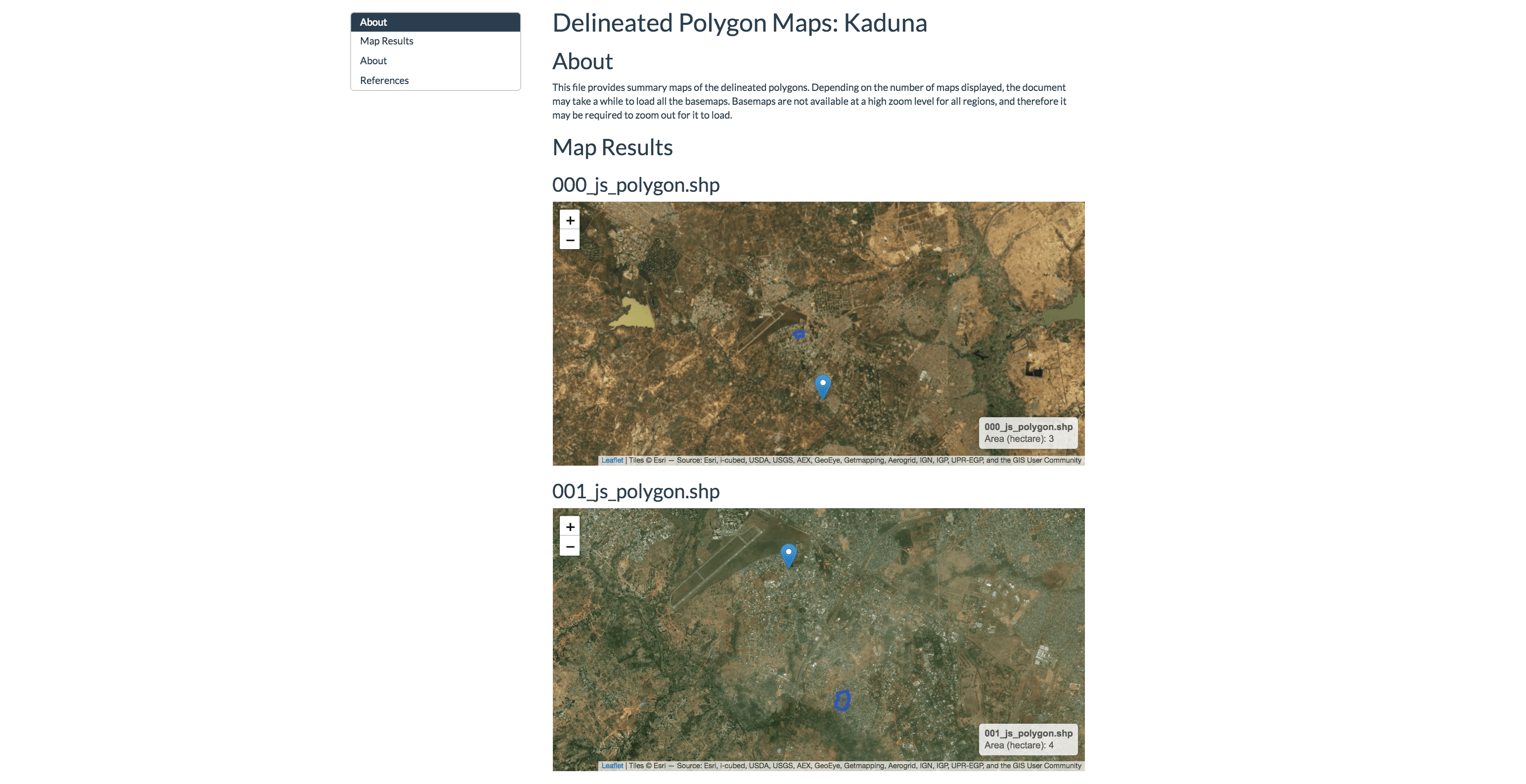
Build Map Reports
A map report can be built for all the polygons being validated. This report will display each polygon with its corresponding point. The function requires several key argments:
- The directory path of the shapefiles to be validated.
- The filepath of the survey locations shapefile.
- The output directory of the report. This will default to the current working directory.
This is demonstrated below:
# Load Data from the package
path_data <- system.file("extdata", package = "polyCheck")

# Settlement types
path_polygons <- file.path(path_data, "polygons")
path_survey_points <-  file.path(path_data, "survey_points_sample.shp")
directory <- getwd() # Alter this to your selected directory

# Builds a summary report
build_map_report(outDir = directory,
                 survey_points_path = path_survey_points,
                 polygon_dir = path_polygons)
An example of this report is shown below: